

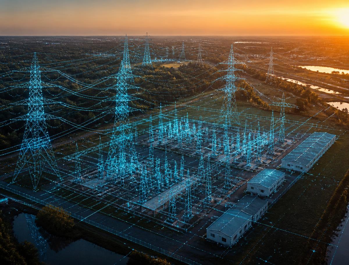
Multi-modal Data for Digital Twins, Reality Capture & Physical AI
The next generation of utility digital twins, asset intelligence and Physical AI depends on far more than traditional imagery. Explore how LiDAR, imagery, mobile mapping, GNSS are converging into AI-ready representations of utility networks and the built environment.
Live · Online 3 executive sessions 2026 dates soon
LiDARImageryMobile MappingUtility NetworksGNSSTelemetryRadarPoint CloudsVegetation ManagementDigital TwinsPhysical AI
The Series
Three sessions. One transformation.
A curated conversation about how utility operators, engineering firms and geospatial professionals are moving beyond single-sensor thinking — capturing, managing and leveraging real-world information across transmission, distribution, pipeline and vegetation management programs.
Building AI-Ready Digital Twins with Multi-modal Reality Capture
Creating accurate digital twins requires more than aerial imagery or laser scanning alone. Utility operators are combining multiple sensing technologies to produce comprehensive, AI-ready representations of transmission and distribution networks, substations, utility corridors, vegetation zones, and critical infrastructure.
Discussion Topics
Why multi-modal reality capture is becoming the utility industry standard
AI-ready data for utility digital twins
Integrating imagery, LiDAR and mobile mapping
Capturing transmission and distribution corridors at enterprise scale
Preparing data for future AI applications
Webinar 02
Webinar · Asset Management
From Reality Capture to Intelligent Asset Management
Utility operators are under increasing pressure to maintain aging assets while improving reliability, safety, and cost efficiency. Multi-modal datasets provide the foundation for AI-assisted asset inventories, condition assessments, vegetation encroachment detection, and predictive maintenance.
Discussion Topics
AI-assisted asset extraction for utility networks
Automating inventory collection across electric, water, gas and wastewater systems
Feature recognition from imagery and point clouds
Managing electric, water, gas and wastewater assets
Digital twin workflows for utility infrastructure
Case studies from electric, water, gas utilities, and municipalities
Webinar 03
Webinar · Physical AI
The Future of Intelligent Utility Infrastructure
As AI becomes embedded within utility engineering and asset management, digital twins will evolve from static models into continuously updated operational platforms for network reliability, vegetation management, and asset performance.
Discussion Topics
Continuous reality capture for utility networks
AI-powered monitoring of transmission, distribution, and pipeline assets
Intelligent digital twins for utility operations
Utility infrastructure automation
Autonomous inspection technologies
Preparing utility organizations for the next generation of Physical AI
Target Audience
Built for the professionals shaping AI-ready infrastructure.
Designed for the leaders responsible for capturing, managing and utilizing geospatial and utility data to power digital transformation.
Infrastructure Owners
Public sector & operators
Electric, water, gas & wastewater utilities
Municipal utilities and co-ops
County and municipal governments
Public works and utility departments
Vegetation management contractors
Utility engineering consultancies
Pipeline and midstream operators
Critical infrastructure operators
Typical Attendees
Owner-side leaders
Utility Executives
Asset Managers
Digital Twin Managers
GIS Directors
Survey Managers
Utility Engineers
Vegetation Managers
Distribution & Transmission Managers
Capital Program Managers
Asset Management Directors
Innovation & Digital Transformation Leaders
Geospatial & Reality Capture
Technical professionals
GIS Managers
GIS Analysts
Mapping Specialists
Reality Capture Specialists
Mobile Mapping Managers
LiDAR Engineers
Photogrammetry Specialists
Remote Sensing Professionals
Geospatial Data Managers
Survey Engineers
Geomatics Professionals
Point Cloud Specialists
This represents Voxelmaps' core audience — the professionals responsible for creating the AI-ready datasets that underpin utility digital twins, vegetation management, and intelligent infrastructure.
Why Attend
Actionable insight for AI-ready infrastructure.
Attendees will learn how leading utilities are unifying imagery, LiDAR, mobile mapping and sensor data into workflows that support the next generation of intelligent utility infrastructure.
01Build AI-ready digital twins of utility networks using multi-modal data.
02Integrate imagery, LiDAR, mobile mapping, and other sensor technologies into unified utility geospatial workflows.
03Improve utility asset inventories, condition assessments and vegetation encroachment detection through AI-enabled automation.
04Enhance decision-making with more complete, accurate, and current representations of electric, water, gas and wastewater systems.
05Prepare their utility organizations for the next generation of intelligent infrastructure and Physical AI applications.
Join the series
The next generation of utility intelligence starts with better data.
Join utility and geospatial leaders from across North America for this essential executive series on multi-modal reality capture, asset intelligence and Physical AI.